
Quality Assurance
It is important to archive data sets of good quality, directly usable for scientific or operational purposes.Therefore a cruise is only archived at the end of a series of quality checks, which is in conformity with the IOC, ICES and EU/MAST recommendations. These checks are a necessity for the historical data, but are also useful for recent data already validated by the scientific laboratories because any data handling is a potential source of error.
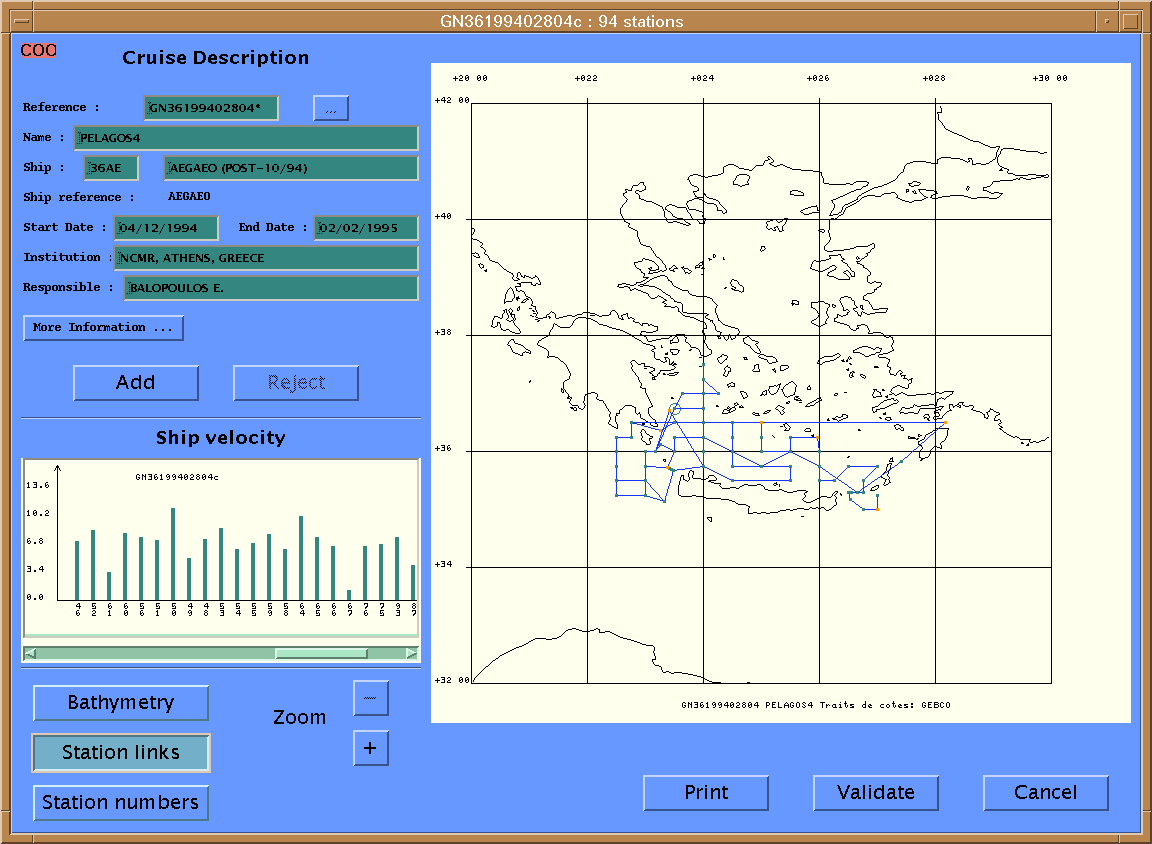
Each data set (cruise) is trans-coded to MEDATLAS Format and submitted globally to a series of automatic (objective) tests, followed by manual tests by displaying the results of the automatic test on a screen. As a result, a quality flag is added to each numerical value, but the values themselves are not modified.The flags are then validated or corrected manually, taking in consideration the overall coherence of the data within the cruise, which is somehow subjective but not arbitrary. The automatic checks are made by using pre-existing knowledge of the region: extreme values for broad range checks and previous climatological profiles (Levitus, MODB, Medatlas) for narrow range checks.
Specific software – SCOOP (System of Control Oriented Oceanographic Parameters) has been developed by SISMER and is used from HNODC under UNIX platform for quality checks on vertical profiles of temperature, salinity and nutrients.
Flag scale
The flag scale is the flag scale adopted by the IOC for the GTSPP International program of temperature exchange in real time. The flag value if documented, is proportional to the level of error. When the data are displayed on a screen for visual checks, a color is assigned to each flag which are the following:
| 0 : No QC | |
| 1 : Correct | |
| 2 : Inconsistent | |
| 3 : Dubious | |
| 4 : False | |
| 5 : Modified |
Quality Checks
1. Check of the format, QC-0: This check include the completeness of the documentation like ship name and code etc. Requested corrections or completion are made before any further control.
2.Check of the headers, QC-1: The following tests are performed automatically first and the results displayed on a screen to perform the manual check. As these checks concerns location and date, they may be followed with a correction (C) in case of obvious errors. If this is not the case, the profile is eliminated (E) with a global flag to 4(false) (C).
| TEST | RESULT | FLAG VALUE |
| Check for duplicates | E |  1 1 |
| Check the date | C or E |  5 5 |
| Check the ship velocity | C or E | 5 |
| Check the location/shore line | C or E | 5 |
| Check the bottom sounding (ETOPO5) | C or E |  2 2 |
Visualization, manual checks and validation of the flags
| TEST | RESULT | FLAG VALUE |
| Missing pressure | E | 1 |
| Constant value on the vertical |  4 4 |
|
| Impossible regional values(min & max.) | 4 |
|
| Check the increasing reference (pressure) | 4 |
|
| Data point below the bottom depth | 4 |
|
| Check for spikes |  3 3 |
|
| Compare with the pre-existing statistics (LEVITUS, MODB) | 2 |
|
| Check the vertical stability | 4 |

Regional Parametrization
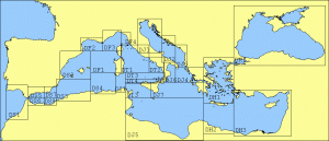 The Mediterranean is a very contrasted region from the Black Sea to the Gibraltar Straits and the same control values cannot be used everywhere. For simplicity,Mediterranean Sea has been subdivided in rectangle geographical sub-domains (15kb) where the measured parameters are controlled with reference to the local characteristics of temperature, salinity and oxygen:minimal and maximal values, spike threshold, top-bottom shear. These values may have been tuned manually in the vicinity of rivers, but there the differences are so high that they cannot been kept permanently and the QC is only performed manually, taking into account the local continuity.